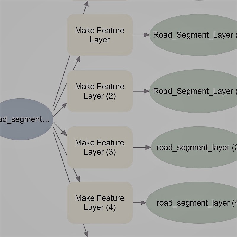
Spatial Analysis

Helping to solve real world problems

Our team will work with you to develop and implement the appropriate analyses necessary to acheive your goals using spatial data. Our services span the entire timeline of the project, from selecting the necessary data, running the analyses using the appropriate spatial tools, and presenting the final outcome in a way that everyone can understand. We will ensure that you achieve your goals in the most efficient and timely manner. Let us help you solve real world problems by applying our expertise in spatial analysis using industry standard software.

Risk Assessment

We have experience working with government, industry, and other stakeholders to develop risk assessment frameworks. Through the development of such frameworks, we have been able to help mitigate major threats, such as pipe breaks, by using GIS tools to assess vulnerable areas and other risk factors, such as the resilience of a system and the potential consequences if a threat event were to occur.

Digitization
Snail Habitat

Site Suitability

Selecting areas that are appropriate for a specific function is something that we have a lot of experience in. Our past projects include habitat selection for snails using a selection of tools (e.g., overlay analysis, buffer creation, and development of geoprocessing work flows in model builder). The results of our analyses are far reaching and relevant for implementation at the policy level.

A Sample of Spatial Analysis Techniques

Digitization
Road Buffer
Model Builder
Snail Habitat